Google Maps upset Ukrainians' positions photos: Russians actively using snapshots.


Updated Google Maps photos 'revealed' the locations of Ukrainian military positions.
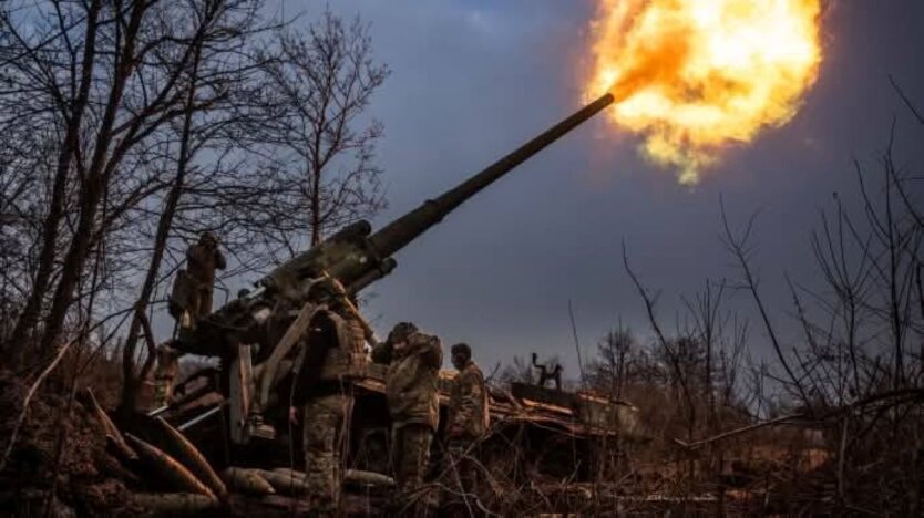
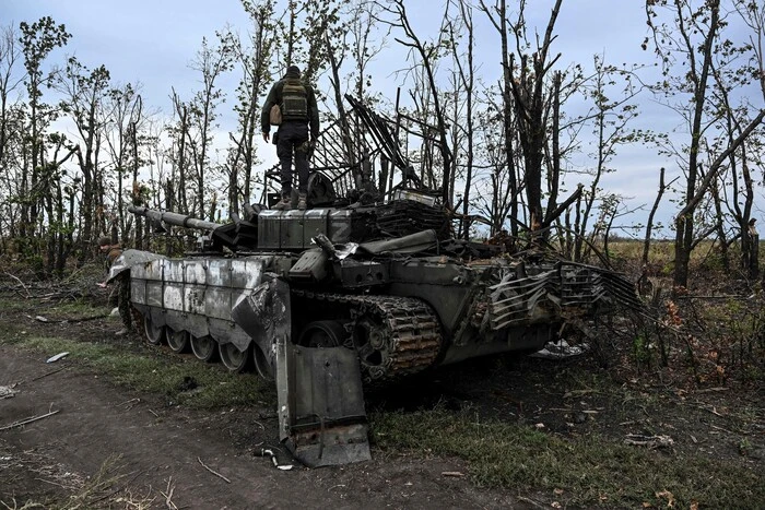
Head of the Center for Countering Disinformation (CPD) Andriy Kovalenko reported that updated Google Maps photos revealed the locations of Ukrainian military positions. He appealed to Google Maps to correct this situation, but received a response that it was impossible due to the weekend. Russians, in turn, are actively using these snapshots.
"Imagine the situation. Google posts updated images on maps showing the locations of our military systems. We asked them to quickly correct this, but they said they are off on weekends. Russians are already actively using these snapshots. What is wrong with this world?" - Kovalenko wrote.
After the public reaction, the head of CPD reported that he contacted Google representatives. They are already working on correcting the situation with snapshots of the locations of Ukrainian military systems.
"We will also discuss how to promptly resolve similar issues in the future," - Kovalenko added.
Reminder, Russia attacked Kyiv and the region with drones overnight.
Read also
- US Court Rules on USAID Operations
- Russian troops from the Kursk region are being pulled to the border with Sumy region - Joint Forces Operation 'Siversk'
- The US has released previously secret documents about the assassination of John Kennedy
- Milk raw material prices changed in Ukraine
- Enemy losses as of March 19, 2025 – General Staff of the Armed Forces of Ukraine
- Vereshchuk announced the simplification of military registration for Ukrainians abroad